Deutsche Zentrale für Tourismus e.V.
Karlsbad 30, 97980 Bad Mergentheim
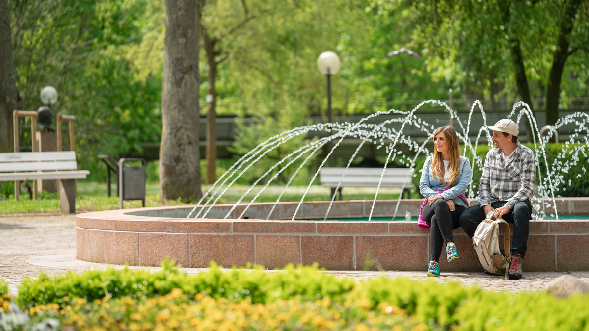
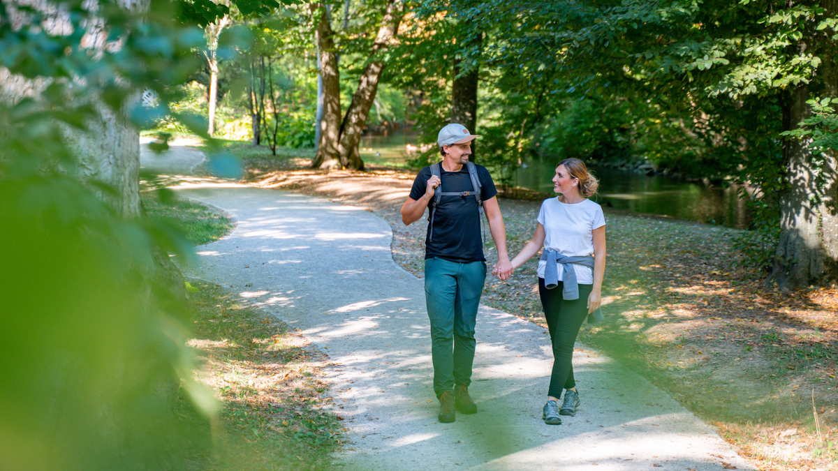
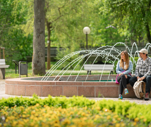
On a total of seven different routes around Bad Mergentheim, you can experience the magic of the changing seasons. A hiking guide from the Taubergrund Nature Conservation Group e.V. will accompany you on the specially designed hiking trails. The meeting and endpoint of the approximately 10 km long circular hikes is at the fountain in front of the House of Guests in the spa park. Depending on the weather conditions, the planned hiking routes may be changed at short notice. Sturdy footwear and a drink are required.
Hike 1: Over the Edelfinger Heights
Distance: approximately 8 km
Elevation gain: 206 m
From the spa park, the hike leads along the Tauber River up the wine trail to Ketterberg. After a beautiful view of the town of Bad Mergentheim, the trail descends into the Mergel Valley and through mixed forests and over orchards until just before Löffelstelzen. On the other side of the Mergel Valley, the path goes through abandoned vineyards to the heights above the district of Edelfingen, offering magnificent views of the Tauber Valley towards Edelfingen and Königshofen. The return route follows the old country road and along the flood embankment back to the spa park.
Hike 2: Into the Quiet Wolfental
Distance: approximately 11 km
Elevation gain: 202 m
The hike leads through the town along the Wachbach to the district of Neunkirchen and from there into the Wolfental. On natural forest and meadow paths uphill to Trillberg with its chapel, the highest point of the hike is reached. Along this route, you can repeatedly enjoy impressive landscape panoramas. After passing through the Trillberg forest, the trail descends via Boxbergerstraße, through the mill weir roundabout and the marketplace back to the starting point in the spa park.
Hike 3: To Trillberg
Distance: approximately 7.5 km
Elevation gain: 140 m
From the spa park, the hiking route initially leads into the castle park with its interesting trees, then slightly uphill through the city to Füsilierweg, which leads above the Caritas Hospital to König-Karl-Hütte. After a charming view into the Tauber Valley towards Königshofen, there is a small ascent to "Merian Allee" (Hochrainallee) with an impressive view of the town of Bad Mergentheim. The hike continues to Trillberg, through the Trillberg forest via Mörikeweg back into the spa park.
Hike 4: Löffelstelzen
Distance: approximately 10 km
Elevation gain: 200 m
This hike mainly takes you through orchards that replaced the old wine-growing landscape of Bad Mergentheim about 100 years ago. Along the Tauber River downstream, parallel to and on the car-free Edelfinger Straße below Ketterberg, the route leads to Mergelter, a valley with a gently rising path to the district of Löffelstelzen. After enjoying a wonderful view into the Tauber Valley and onto Neuhaus Castle, the trail descends to Marienruhe, through the wooded Erlenbach Valley and along the Taubertalbahn back to the spa park.
Hike 5: To Neuhaus Castle
Distance: approximately 10 km
Elevation gain: 200 m
The hike leads uphill through the "Weberdorf" past Spessartblick to Galgenberg. As with the ascent, the panoramic view of Bad Mergentheim from the panoramic path to Neuhaus Castle is a delight. With a detour through the nature reserve "Wachholderheide," hikers reach the "Bergnase" of Neuhaus Castle with beautiful panoramic views. The descent leads back into the valley via a little-used road, and along the Tauber, the starting point in the spa park is reached again.
Hike 6: Unterbürgerwald Edelfingen Valley Path
Distance: approximately 10.3 km
Elevation gain: 195 m
The hike follows the Taubertalbahn past the western industrial area to the ascent into Unterbürgerwald. At the edge of the cliff above the Tauber, impressive views into the valley can be enjoyed repeatedly. On a narrow forest path, the route initially descends slightly and shortly before Edelfingen, goes down into the valley. In Edelfingen, the Tauber Bridge is crossed, and the return to the spa park is made through Edelfinger gardens, fields, and meadows near the Tauber.
Hike 7: Heights Path Arkau, Löffelstelzen, Marienruhe, Vogelherd
Distance: approximately 9 km
Elevation gain: 230 m
This hike begins with a 100-meter ascent at the Solymar Therme up the Arkau. The path above the Erlenbach Valley, but below Löffelstelzen, is rewarded with a magnificent view of the Tauber Valley. Then, it descends about 50 m into the Erlenbach Valley to Marienruhe, before hiking 2 km through mixed forest about 60 m up to Altenberg to Vogelherd. The Vogelherd was briefly a bird-catching station from the last Mergentheim period of the Teutonic Order. The return is again down into the Erlenbach Valley and over the golf course back to the spa park.
Meeting point: Fountain in front of the House of Guests
Price: free - an offer only for holders of the spa and guest card/annual resident card
Participation in the hikes is at your own risk.