

Newsletter
Would you like to receive regular updates about our activities? Sign up for our newsletter!
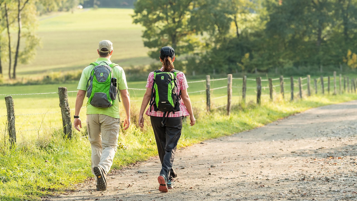
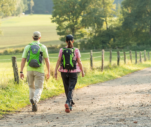
The community hike organized by the local groups of the Eifelverein Daun, Prüm, Bleialf, and Gerolstein, starting and ending at the “Gemeindehaus Büscheich,” mainly leads through the beautiful city forest. During this hike, we will climb the highest elevation in the Gerolsteiner Land, the “Dietzenley,” with the Celtic Fortress. From the viewpoint tower located there, one can enjoy stunning panoramic views of the surrounding Eifel landscape.
Passing by the “Königsfichte,” we soon glimpse the bizarre rock walls as distinctive points in the nature reserve “Heiligenstein.” From the small shelter “Burgblick,” there is a lovely view into the Kyll Valley. Then we reach the lowest point of our hike, the castle ruin “Löwenburg” (Burg Gerhardstein) with a beautiful view of the town and the Gerolsteiner Dolomites located on the opposite side of the Kyll.
The trail continues upward, past the newly established forest ball track, to the “Büschkapelle” and then back to Büscheich.
After the hike, which lasts about 4 hours, we invite you to a cozy conclusion with coffee and cake at the Gemeindehaus Büscheich, where, of course, non-hikers are also warmly welcome.
Hike Leader: Hike leader of the local group
Information and registration (preferably by 28.08.): Hermann Michels, +49 6593 8148
Price: 3 € per person for transportation
Hiking distance: 11.5 km
Meeting point: 9:45 AM, Fountain Square Info Board EV or 10:00 AM at Gemeindehaus Büscheich
Never miss your favorites again—get notified right away!
Go to the search agentWe'll let you know as soon as similar events go live.
Hilf uns, Freizeit für Dich einfacher zu machen
Danke! Das hilft uns wirklich weiter.
Hilf uns, Freizeit für Dich einfacher zu machen
Danke! Das hilft uns wirklich weiter.